What this trip actually is
The Cape Reinga day trip is the longest single excursion most visitors take in New Zealand, and the one most often misjudged. From Paihia or Kerikeri it is roughly a hundred kilometres each way as the road runs, but the road is slow, the stops are spread across the whole peninsula, and almost every coach itinerary runs one leg along the sand rather than the highway. Ten to twelve hours door to door is normal. People book it expecting a half-day outing to a lighthouse and get a full day crossing the narrowest, strangest part of the country.
It is worth the day. The Aupōuri Peninsula is a sand spit barely a few kilometres wide in places, with the Tasman Sea on one side and the Pacific Ocean on the other, and you can genuinely see both from the same road. At the top, Te Rerenga Wairua — Cape Reinga — is where the two bodies of water collide in a visible line of broken water, and where, in Māori belief, the spirits of the dead depart. It is the most spiritually significant site in New Zealand. That matters for how you behave when you get there, and we come back to it below.
Between the two ends sit the things that make the day: the Te Paki sand dunes, where people slide down a hundred-metre face on a boogie board; Ninety Mile Beach, which is a gazetted public highway and which you are almost certainly not allowed to drive; and the kauri forest remnants and gumfields that explain how the north was settled.
- Time: 10–12 hours from the Bay of Islands. Longer from Auckland — that is a two-day trip, not one.
- Do not self-drive the beach. Effectively every rental agreement in New Zealand prohibits it, and recovery is not covered.
- Cape Reinga is sacred. No food or drink at the headland. Follow the posted tikanga.
- Bring: layers, sunscreen, water, closed shoes for the dunes, and something to eat.
Ninety Mile Beach is not ninety miles
Start with the name, because it is the first thing that goes wrong. Ninety Mile Beach is about 88 kilometres long — roughly 55 miles. The most repeated explanation is that missionaries estimated the distance by how long it took to drove livestock along it, at an assumed thirty miles a day for three days, without allowing for the animals moving more slowly on sand. Whether or not that origin is exact, the discrepancy is real and long-standing, and it has stuck for well over a century.
Its Māori name is Te Oneroa-a-Tōhē, "the long beach of Tōhē", after the Ngāti Kahu ancestor who travelled its length. The beach and its dunes are now managed under a co-governance arrangement between the Te Hiku iwi — Te Aupōuri, Ngāti Kurī, Te Rarawa and NgāiTakoto — and local councils, which is why you will see signage about tikanga and vehicle restrictions rather than a simple beach access sign.
It is a legal road, and that is the problem
Ninety Mile Beach is a gazetted public highway. Ordinary road rules apply: give way, no drink driving, warrant and registration. That legal status is precisely why so many visitors assume they can drive it in a hire car — and precisely why they cannot. Almost every rental company in New Zealand explicitly forbids driving on Ninety Mile Beach in its terms. Breach it and your insurance is void.
This is not a technicality invented to sell coach seats. Vehicles get caught by the incoming tide on this beach regularly, and recovery is often impossible before the sea reaches them. The sand is firm in a narrow band and soft either side of it; the streams crossing the beach cut channels that move; and there are patches of genuine quicksand near the stream outlets at the northern end. Every year cars are written off here, and the salvage bill lands on the driver.
The coach and 4WD operators run it because they hold the permits, know the tide windows, and drive it daily. Their vehicles are specified for it. That is the whole reason the guided day trip exists in the form it does.
Te Rerenga Wairua: the leaping place of spirits
Cape Reinga is the anglicised name. The Māori name, Te Rerenga Wairua, means "the leaping place of spirits", and it describes what the headland is for rather than where it is.
In Māori belief, when a person dies their wairua (spirit) travels north along the length of the country to this point. At the tip of the headland grows a single ancient pōhutukawa, said to be around eight hundred years old and never recorded in flower. The spirit descends by its roots into the sea, surfaces at the Three Kings Islands — Manawatāwhi — for a last look back at the land, and continues to Hawaiki, the ancestral homeland.
This is not folklore presented for visitors. It is live belief, and Te Rerenga Wairua is among the most sacred places in New Zealand. The practical expression of that is simple and posted at the site: do not eat or drink anywhere on the headland. In tikanga Māori, food is noa — ordinary — and its presence removes the tapu that makes a place sacred. Have your lunch in the car park area where it is permitted, not at the lighthouse. Stay on the formed paths. And if you are asked not to photograph something, don't.
The two oceans
The other reason people come is the water. Off the headland, the Tasman Sea meeting the Pacific Ocean produces a visible line of standing waves and broken water where opposing currents collide — sometimes a sharp seam, sometimes a wide band of chop, depending on wind and tide. In Māori tradition the two are Te Moana Tāpokopoko a Tāwhaki and Te Tai o Whitirea, male and female seas, and the turbulence is their meeting.
A note on the geography, because the signage is more careful than the guidebooks: Cape Reinga is not the northernmost point of the North Island. That is Surville Cliffs at North Cape, about thirty kilometres east, on land with restricted access. Cape Reinga is the northernmost point most people can reach, and the most north-westerly, which is why it carries the reputation.
The lighthouse
The white Cape Reinga Lighthouse below the car park is the photograph everyone takes, usually with the signpost showing distances to London, Tokyo and the South Pole. It first shone in 1941, replacing an earlier light on Motuopao Island offshore, and was automated in 1987. It is about a twenty-minute walk down from the car park on a sealed path — and, more to the point, a twenty-minute walk back up, which catches out anyone who has misjudged how long the coach is stopping.
The Te Paki dunes and sandboarding
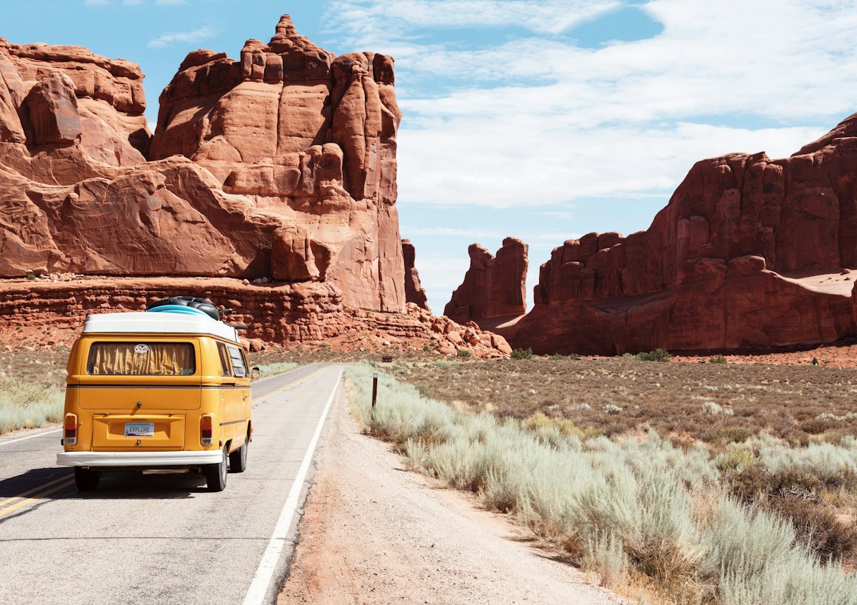
Roughly halfway between the beach and the Cape, the Te Paki Stream cuts through a field of enormous shifting sand dunes — pale, steep and completely unlike anything else in the country. This is the stop people remember most, and the one that surprises them, because it is not what you book a Cape Reinga trip for.
The activity is sandboarding: you carry a board up a dune face that can run well over a hundred metres, lie on it head-first, and go down fast. Operators supply boards; the walk up is the hard part, in soft sand, usually in full sun. Most people manage two or three runs and then sit down.
Two practical warnings. First, the sand gets extremely hot on a clear day — closed shoes, not jandals, and do not put a child down barefoot. Second, the Te Paki Stream bed is the access route for vehicles and has genuine quicksand in places; stay where you are told to stay, and do not wander up the stream on your own. Keep phones and cameras in something sealed, because fine dry sand gets into everything and does not come out.
What the day looks like, stop by stop
Itineraries vary between operators, but the shape is consistent, and knowing it helps you judge whether a given trip is doing the whole thing or cutting it short.
Northbound
An early start — most pick-ups from Paihia are between about 7 and 8am. The road runs north through Kawakawa, often with a stop at the Hundertwasser public toilets, which sounds like a joke and is genuinely one of the most photographed buildings in Northland. Then up the peninsula through Kaitaia, the last real town, and onto the sand at Waipapakauri or Ahipara depending on the tide.
The beach leg runs the length of Te Oneroa-a-Tōhē — an hour or so of driving on sand with the Tasman on your left and the dune wall on your right. Then the Te Paki Stream turn-off, the dunes and sandboarding, and the last stretch of road to the Cape.
At the Cape
Typically an hour to ninety minutes: the walk down to the lighthouse, the signpost, the view over the meeting of the seas, and time at the top. This is the part people wish were longer, so if the itinerary you are looking at gives it forty minutes, that is a signal about the trip.
Southbound
The return is on the highway, usually with a stop at a kauri workshop or gumfield near Awanui, where the trade in fossilised kauri gum and swamp kauri is explained. Some operators include fish and chips at Mangonui on the way back, which is a highlight in its own right. Expect to be back in Paihia between 6 and 8pm.
- Does it run the beach at all? Some cheaper trips stay on the highway both ways. The beach is half the point.
- How long at the Cape? Under an hour is tight once you have walked down and back.
- Is sandboarding included or extra? Both models exist.
- Pick-up point: Paihia, Kerikeri and Mangonui pick-ups make for very different day lengths.
Gum, kauri and how the north was made
The stretch of highway between Kaitaia and the Bay of Islands looks like farmland with scrub on it. It is actually the floor of a vanished forest, and the reason the Far North was settled at all.
Kauri once covered much of Northland — enormous, slow-growing trees, some of them well over a thousand years old. Nineteenth-century logging took most of them for ships' spars and timber. But the more distinctive trade was in kauri gum: hardened resin bled from the trees over centuries and buried in the ground when the forests fell. From the 1850s it was dug out of the swamps and sold for varnish and linoleum, and for several decades it was Auckland province's biggest export earner.
The gumdiggers who did the work were a mixed population — Māori, Dalmatian immigrants from what is now Croatia, and a scattering of others — living rough on the gumfields and probing the ground with long spears to find deposits. Northland's Dalmatian community, which later shaped New Zealand winemaking, traces directly to this trade. Most Cape Reinga trips stop at a gum or kauri workshop near Awanui on the return leg, and it is a better stop than it sounds: the swamp kauri worked there has been carbon-dated to tens of thousands of years old, having lain preserved in peat since long before human arrival.
Further south, the surviving giants stand in Waipoua Forest on the west coast — Tāne Mahuta, the largest kauri alive, and Te Matua Ngahere. That is not on the Cape Reinga route; it is a separate day on the Kauri Coast. It is worth knowing the distinction, because visitors sometimes book the Cape trip expecting to see the big trees and do not.

One current note: kauri are under threat from kauri dieback, a soil-borne disease spread on footwear. Where you encounter cleaning stations at forest entrances anywhere in Northland, use them properly — scrub the soil off, then spray. It is the single most useful thing a visitor can do for these forests.
If the full day is too much
Not everyone has twelve hours, or wants them. Three shorter options give you a real piece of the Far North without the whole peninsula.
Ahipara and the southern end of the beach
Ahipara sits at the southern end of Te Oneroa-a-Tōhē, about an hour and a half from Paihia. You can stand on the beach, look up its full length, and walk as far as you like without any of the tide-and-permit problem, because the southern access is straightforward. There are gumfields in the hills behind and a long surf break. It is a half-day, and it gives you the beach without the Cape.
Mangonui and Doubtless Bay
About an hour and a quarter north of Paihia, Mangonui is a small harbour village with a fish shop on piles over the water that has a national reputation. Doubtless Bay has a string of easy swimming beaches — Coopers, Cable Bay, Taipa. This is the gentle version of the north: a drive, a swim, lunch, and back by mid-afternoon.
The Karikari Peninsula
North-east of Doubtless Bay, Karikari has some of the most striking beaches in the country — Maitai Bay in particular, a double-horseshoe of white sand inside a reserve — and almost nobody on them midweek. It is further than Mangonui but still well short of the Cape.
None of these replaces Te Rerenga Wairua. But if the choice is a rushed twelve hours or a relaxed six, the six is often the better day.
When to go, and the tide
The Far North is the warmest and most humid part of New Zealand, with a genuinely subtropical feel — it is the one region where the climate is closer to Queensland's than to the rest of the country. Summer, December to March, is warm and busy. Autumn, March to May, is the pick: settled weather, warm sea, and far fewer people at the Cape.
Winter is mild by New Zealand standards but wet, and the beach leg is more weather-dependent. Spring is changeable. The trip runs year-round.
The one variable you cannot control is the tide. The beach section is only drivable within a window either side of low tide, which is why departure times shift through the month and why two operators can quote different pick-ups for the same day. If an itinerary looks unusually early or late, that is the tide, not an error. It is also why the beach leg is sometimes dropped at short notice — a legitimate safety call, not a cut corner.
Practical notes
Getting there and how long it takes
From the Bay of Islands — Paihia, Russell or Kerikeri — this is a comfortable if long day trip. From Auckland it is not: Auckland to Cape Reinga is over 400 kilometres each way, and doing it in a day means around fourteen hours in a vehicle for a short stop. If you are based in Auckland, treat the Far North as a two- or three-day trip with a night in Paihia or Kaitaia.
Food, fuel and phone
North of Kaitaia there is very little. Fuel up before you go; carry water and food; and expect patchy to no mobile coverage for long stretches of the peninsula, including at the Cape itself. Download anything you need in advance.
What to wear
Layers. The Cape is exposed and the wind is constant even when Kaitaia is still. Sun protection is not optional — the UV in the Far North is severe, and the reflection off pale sand doubles it. Closed shoes for the dunes. A change of socks is a better idea than it sounds.
Accessibility
The lighthouse path is sealed but steep in sections and there is no vehicle access to the headland. The dunes are not accessible. If mobility is a consideration, the Cape car park and its outlook still give you the meeting of the seas, and it is worth telling the operator in advance so they can plan the stop.
Respecting the place
This bears repeating because it is the single thing most often got wrong: no food or drink on the Cape Reinga headland. Not a snack on the walk down, not a coffee at the signpost. It is a burial-adjacent sacred site under active tikanga, and the request is posted at the entrance. Everything else — stay on the paths, take rubbish out, don't climb on the rocks below the lighthouse — follows from the same idea.
Is it worth a whole day?
Yes, with one condition: go in knowing it is a long day of travel with a handful of very good stops, not a short hop to a famous headland. People who book it expecting the latter spend the day slightly disappointed. People who understand the shape of it — the sand highway, the dunes, the seam where two oceans meet, and a place that carries more meaning than any other in the country — tend to describe it as the best day of their New Zealand trip.
If you have only one day spare in the Bay of Islands and you are choosing between this and a Hole in the Rock cruise, the cruise is the easier and shorter day and the Cape is the more memorable one. If you have two days, do both — they are completely different experiences of the same region.
Cape Reinga & Ninety Mile Beach: the day trip, honestly: your questions
No. Ninety Mile Beach is a gazetted public highway, but effectively every rental company in New Zealand explicitly prohibits driving on it, and doing so voids your insurance. Vehicles are caught by the tide here every year and recovery costs fall on the driver. The licensed coach and 4WD operators hold permits, know the tide windows and drive it daily — that is why the guided trip exists.
Ten to twelve hours from the Bay of Islands. Pick-ups from Paihia are usually between 7 and 8am with a return between 6 and 8pm. From Auckland it is not a sensible day trip — over 400km each way — and is better done as two or three days with a night in the north.
About 88 kilometres, or roughly 55 miles. The name is a long-standing misnomer, commonly explained by an early overestimate of how far livestock could be droved along it in a day. Its Māori name is Te Oneroa-a-Tōhē.
No. The northernmost point of the North Island is Surville Cliffs at North Cape, about 30km east, on land with restricted access. Cape Reinga is the most north-westerly point and the northernmost that the public can readily reach, which is why it carries the reputation.
Te Rerenga Wairua is a sacred site in Māori belief — the departure point of spirits — and in tikanga Māori food is noa (ordinary), which removes the tapu that makes a place sacred. Eating or drinking on the headland is asked against and the request is posted at the site. Eat in the car park area instead.
You carry a board up a dune face that can exceed a hundred metres, then ride it down head-first. Operators supply boards. The climb is the hard part, in soft sand and usually full sun. Wear closed shoes — the sand gets very hot — and keep cameras sealed, because fine sand gets into everything.
Autumn, March to May, for settled weather and fewer people. Summer is warm and busy; winter is mild but wetter and the beach leg is more weather-dependent. The trip runs year-round, but departure times move with the tide, since the beach is only drivable around low tide.
Patchy to none for long stretches north of Kaitaia, including at the Cape itself. Download maps, tickets and anything else you need before you leave, and do not rely on being reachable during the day.
Technically yes, sensibly no. It is over 400km each way, so a single day means roughly fourteen hours in a vehicle for a brief stop at the top. Base yourself in the Bay of Islands or Kaitaia and do it from there, or give the Far North two to three days.
It can be, but it is a long day in a vehicle and the dunes involve a steep climb in hot sand. Children usually love the sandboarding and find the driving stretches hard. Bring food, water and something to occupy them, and be honest with yourself about whether a twelve-hour day suits your family.
Layers for wind at the Cape, strong sun protection, water, food, closed shoes for the dunes, and a sealed bag for electronics. Fuel up before Kaitaia. A change of socks after the dunes is more useful than it sounds.
In summer and over school holidays, yes — the Far North operators run limited daily capacity and the tide window means one departure a day rather than several. Outside peak season a day or two ahead is usually enough, but it is worth checking, since a cancelled beach leg can consolidate departures.